Walks
Whether you wander from the gate to do a loop round the block, or jump in the car and go off to find a mountain to conquer, there’s plenty of walks to do for all. We’ve got maps we can lend you and happy to give you some advice,
Stepping out from Whitehall Dairy
There’s plenty of walks from the door - walk to Montgomery over Town Hill, or just go up to the top lane and wander along it for a short while and come back again.
Feel free to ask and we’ll give you some ideas, we’ve also recorded a few walks and saved them below for you to try out.
If you record any walks whilst you’re with us, please send them to us so we can put them on here.
Daisy Bank loop
From Whitehall Dairy, an hour and a quarter or so of lovely lanes round past the organic pastures of Daisy Bank Dairy. In early spring the lanes are lined with daffodils, and in early summer you’ll see orchids and much more. See route below or open in Google Maps.
Tall house trek
About an hour, on a mixture of paths and quiet lanes, the best way round, we think, is to start by going past the front of our house, Whitehall Farm, and down through the fields and across to the other side of the valley. But, why not try it in both directions and let us know which you think is best.
See route below, or open in Google Maps.
GREEN LANE LOOP
A lovely walk along a combination of quiet roads, hillside and a green lane with views across to the Kerry Ridgeway. It’ll take you about 1hr 45mins and is about 4.5 miles long. There are a few steep bits but it’s pretty manageable by all ages.
See route below, or open in Google Maps.
Nearby
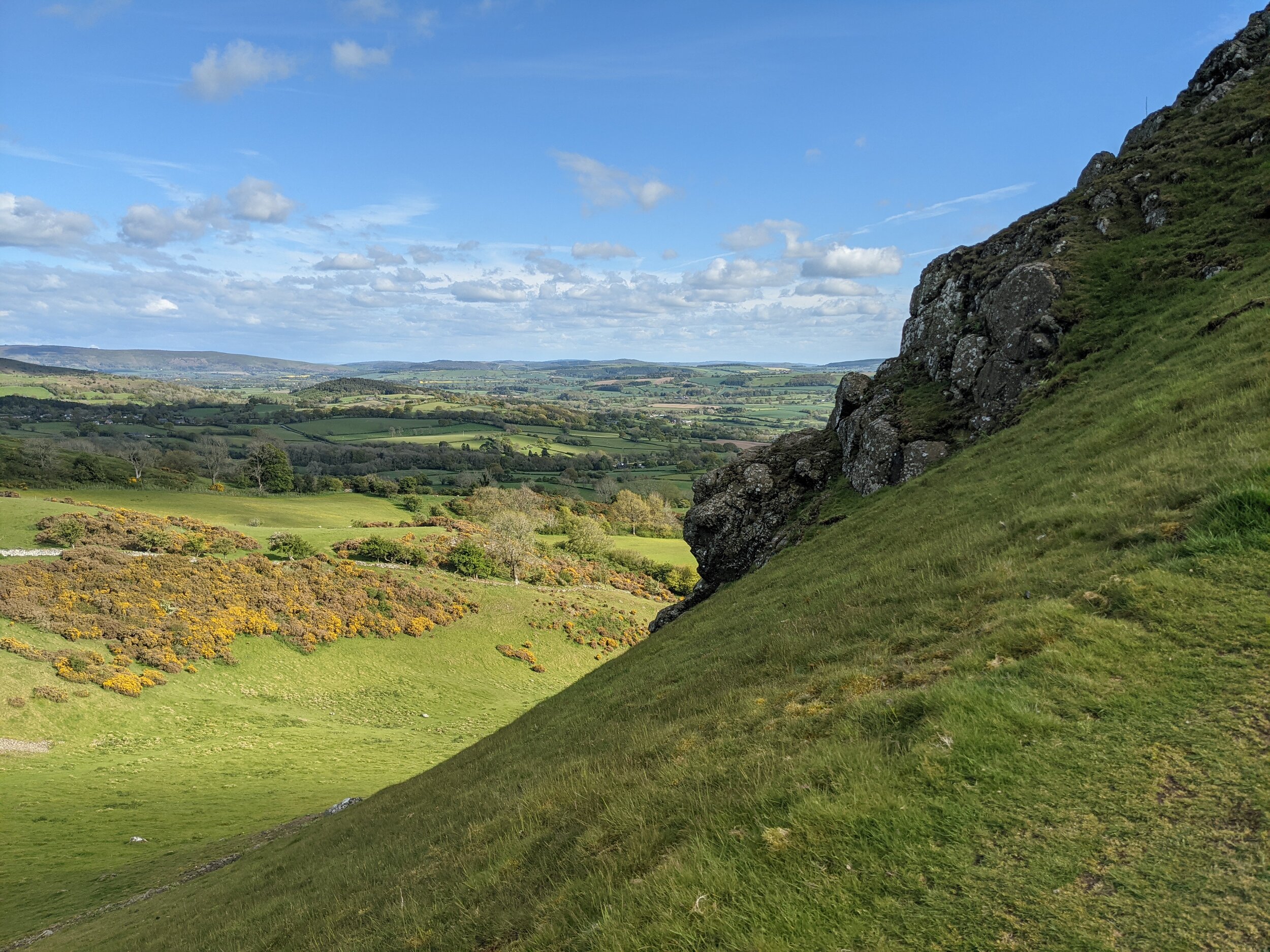
Roundton hill is one of our favourites - just 15 minutes drive away on the other side of the vale of Montgomery, and iron age fort and an SSSI with a lovely pointed peak that makes you feel on top of the world.
Corndon is just near Roundton, quite a bit higher, an extinct volcano from 400 million years ago or so - you can drive quite close to a steep route to the top of the 570m high peak.
Offa’s Dyke path - you don’t have to do it all, but try a bit - just outside Montgomery.
Kerry ridgeway - another registered path, 400m+ up, forests, wide tracks, riding.
Roundton Hill
We love this walk, it’s only 45 minutes or so, but the views and wildlife are amazing. It has quite a definite peak, so you feel on top of the world as the land drops away on all sides once you’re at the top.
Have a look at the Roundton website - it’s managed by Montgomeryshire Wildlife Trust, and is an SSSI, so there some fantastic plants.
See route below or open in Google Maps.
OFFA’S DYKE TOWARDS FORDEN
An easy walk of just over 3 miles along the ancient Offa's Dyke with rolling fields and ancient oaks.
Park one car at the north end, then drive to the car park in Montgomery, park up, away you go. Or, if you’re feeling energetic, just park one car and walk there and back.
Why not pop into the Dragon or the Crown in Montgomery afterwards to quench your thirst?!
See map below or open in Google Maps.
OFFA’S DYKE AND KERRY RIDGEWAY
This walk, as with the previous one is starts or ends at the car park in Montgomery and is a great combination of ancient lanes, meadows, woodland and hills. The other end is on the ancient drover’s road of the Kerry Ridgeway. Just under 6 miles, and if you start in Montgomery it’ll be a good workout getting up to the top of the Ridgeway, the other way round is a very casual walk of three hours. If you’d rather not have any hills and an even easier walk, park at Mellington Hall and have a coffee or meal at the end (call ahead to check opening hours etc).
See map below or open in Google Maps.
Further afield
We have a thing we’re doing called “hills on our horizon” - we occassionally go and climb a peak that we can see from Whitehall Dairy - here’s three crackers you can get to in an hour and a quarter by car, the walks are a good few hours of proper walking, but well well worth it.
Cader Idris.
Berwyns.
Aran Fawddwy.
If you don’t fancy conquering the Berwyns, visit Pistyll Rhaeadr - tallest waterfall in Wales and England that is at the base of the route up.


